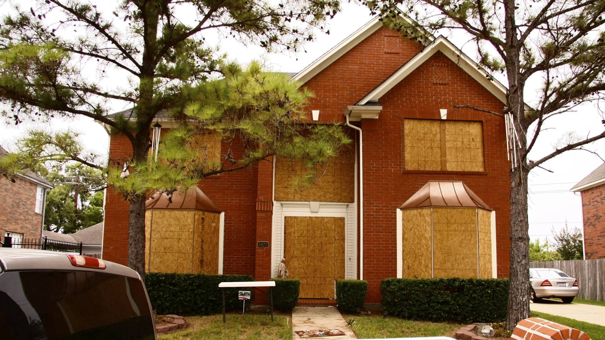
Homeowners across the United States are losing insurance coverage based on satellite photos and AI-scored roof assessments they never knew existed. On April 30, 2025, the Massachusetts Division of Insurance issued Bulletin 2025-02, titled “Underwriting Actions Based on the Use of Aerial Imaging,” responding directly to a wave of complaints from policyholders who received nonrenewal notices tied to aerial inspections. The bulletin is the latest in a string of state-level actions, including guidance from New York and Texas, aimed at forcing insurers to explain and justify decisions driven by overhead imagery and algorithmic risk models.
Why aerial AI underwriting is triggering state regulators right now
The core problem is straightforward: insurers are using high-resolution satellite and drone imagery, processed through AI systems, to flag roof damage, yard debris, or structural deterioration, then canceling or refusing to renew policies without telling homeowners exactly what the images revealed. In many cases, entire blocks of homes receive nonrenewal notices at once, effectively redlining neighborhoods based on algorithmic output rather than individual claims history.
Massachusetts regulators responded with aerial imaging guidance, which requires insurers to provide specific, actionable reasons when aerial imaging drives an underwriting decision. The goal is to give homeowners a fair chance to fix the identified problem, such as replacing a deteriorating roof, before losing coverage. A companion consumer guide published by the same agency explains that policyholders can submit contradicting evidence, like recent roof replacement receipts, to challenge an insurer’s aerial findings.
The bulletin goes beyond simple notice requirements. It directs carriers to document how they use imagery, maintain audit trails of the decisions tied to those images, and ensure that any AI scoring tools are subject to human review before a nonrenewal or cancellation goes out the door. That structure is meant to close the gap between a probabilistic model flagging a “high-risk” roof and a real family losing coverage with little explanation.
The hypothesis worth tracking is whether states that enforce these granular notice and correction requirements will see a measurable uptick in homeowner-submitted roof documentation and a corresponding decline in AI-triggered nonrenewals within the next 18 months, even without new legislation. If the correction mechanism works, it could reshape how insurers deploy these tools. If it does not, pressure for statutory bans on unsupervised aerial underwriting will grow.
State regulators building a patchwork of aerial-imaging rules
Massachusetts is not acting alone. New York’s Department of Financial Services issued Circular Letter No. 7 in 2024, titled “Use of Artificial Intelligence Systems and External Consumer Data and Information Sources in Insurance Underwriting and Pricing.” That guidance establishes expectations for how insurers govern AI systems and external data sources, with an emphasis on compliance with anti-discrimination laws. The New York DFS site cites the circular as a reference point for carriers operating in the state.
New York’s approach is broad by design. Rather than isolate aerial images, it treats them as one category of “external consumer data,” alongside credit-based scores or third-party risk indices. Insurers are told to monitor these tools for unfair bias, validate that they actually predict insured losses, and avoid opaque “black box” systems that cannot be explained to consumers or regulators. In practice, that means any carrier relying on rooftop scans to tighten underwriting must be prepared to show how those scans were tested and how they avoid disproportionately harming certain communities.
Texas took an earlier approach. The Texas Department of Insurance published Commissioner’s Bulletin B-0036-20, which holds insurers responsible for the accuracy of any third-party data they use in rating, underwriting, or claims, and encourages mechanisms for policyholders to review and correct that data. The Texas bulletin predates the current surge in aerial AI adoption, but its principle applies directly: if an insurer relies on a vendor’s satellite scan to drop a policyholder, the insurer, not the vendor, bears responsibility for getting the facts right.
Together, these three states represent a regulatory pattern. Each requires transparency about data inputs, accountability for accuracy, and some form of consumer recourse. But none has yet published aggregated data on how often aerial imagery is used, how many homeowners successfully challenge adverse decisions, or whether certain regions or demographic groups are disproportionately affected. That absence of public metrics makes it difficult to assess whether the new rules are curbing abuses or simply formalizing existing practices.
The patchwork also creates operational friction for national carriers. Aerial-imaging vendors typically sell standardized risk scores; regulators are effectively telling insurers to localize how those scores are used. A model that can auto-decline a roof in one state might need manual review and detailed consumer notices in another. Over time, that may push insurers either to harmonize their practices at the strictest standard or to retreat from markets where compliance costs outstrip perceived benefits.
What comes next for homeowners and insurers
For homeowners, the immediate implication is practical: if a nonrenewal or cancellation notice mentions roof condition, debris, or “aerial inspection,” regulators in Massachusetts, New York, and Texas expect insurers to show their work and offer a path to correction. Keeping records of recent repairs, inspections, and contractor invoices will matter more as imagery-driven underwriting spreads.
For insurers, the emerging message from regulators is not a ban on aerial tools but a demand for traceability and fairness. Carriers that can explain how their models work, verify the quality of their imagery, and give consumers a real opportunity to contest errors are more likely to keep using these technologies. Those that treat satellite scans as an unchallengeable oracle are inviting both enforcement actions and legislative backlash.
Whether the current wave of bulletins is enough to rein in the harshest uses of aerial AI will depend on enforcement and transparency. Until states begin publishing outcome data, the battle over rooftop algorithms will play out case by case, in the gap between what a satellite sees and what a homeowner can prove from the ground.