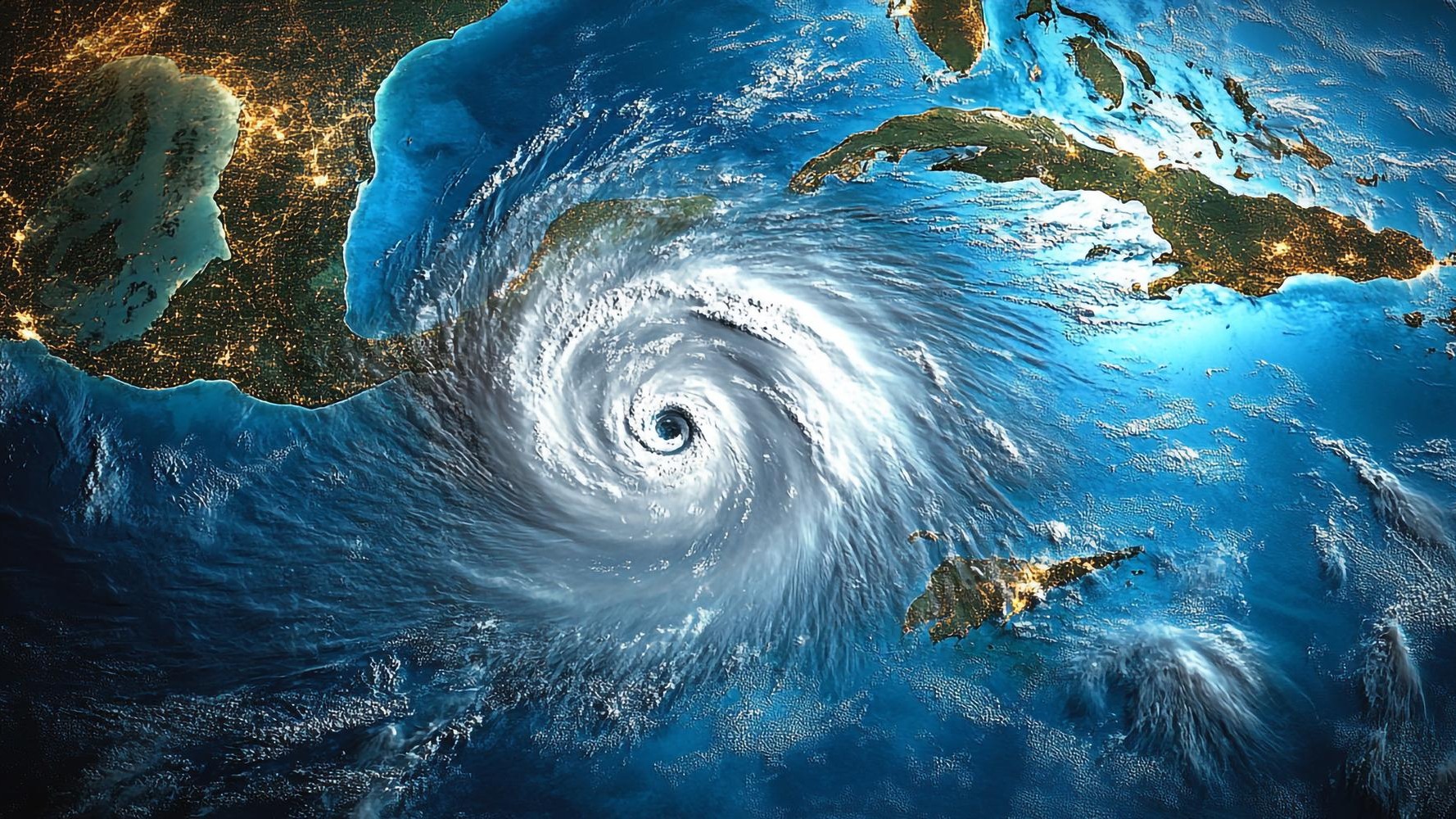
NOAA’s May 2026 hurricane outlook calls for 8 to 14 named storms, 3 to 6 hurricanes, and 1 to 3 major hurricanes of Category 3 or higher, with a 55 percent probability that the season will finish below the 30-year normal. El Niño conditions building in the tropical Pacific are expected to strengthen upper-level wind shear across the Atlantic basin, disrupting storms before they can fully organize. For the roughly 130 million Americans living in coastal counties, that sounds like relief. Insurance brokers who price hurricane risk for a living say it should not be.
The projected range still allows for up to three major hurricanes, and seasonal storm counts have never been a reliable predictor of insured losses. One well-placed Category 3 landfall near Tampa or Houston could generate more insured damage than an entire busy season of storms that never touch land.
That disconnect between headline forecasts and household insurance bills is the tension that defines every hurricane season, and 2026 is no different.
A below-normal season is not a safe season
NOAA’s Climate Prediction Center anchors its seasonal outlook to Accumulated Cyclone Energy, or ACE, a composite index that accounts for storm intensity, duration, and frequency. ACE thresholds determine whether a season is classified as below normal, near normal, or above normal. The agency’s own records show that Atlantic hurricane activity has exceeded the normal threshold in most years since 1995, driven by warmer sea-surface temperatures and persistent atmospheric patterns that favor storm development.
Even within the “below normal” label, the numbers leave room for catastrophic outcomes. Hurricane Ian, a Category 4 storm that struck southwest Florida in September 2022, caused an estimated $112.9 billion in total damage (nominal dollars) according to NOAA’s Billion-Dollar Weather and Climate Disasters database, making it the costliest Florida hurricane on record. That storm arrived during a season that produced 14 named storms, a total that would sit at the upper end of this year’s projected range. The 2025 Atlantic season, by contrast, produced no major U.S. landfalls, yet coastal premiums continued climbing because insurers price to modeled future risk rather than to the previous year’s results.
The probabilistic framing matters. A 55 percent chance of below-normal activity still leaves a 45 percent chance of a near-normal or above-normal season. And probability says nothing about geography. A season with just eight named storms but one Category 3 landfall near a densely populated metro could produce tens of billions of dollars in insured losses. A season with 14 storms that all recurve harmlessly into the open Atlantic would leave coastal markets untouched.
Why one storm can reset the insurance market
A Government Accountability Office review, designated GAO-26-107867, examined why homeowners insurance premiums have risen faster in disaster-prone coastal areas than in the broader national market. The report identified three reinforcing drivers: geographic concentration of wind-risk exposure, regulatory approval timelines that delay carriers’ ability to adjust rates after large loss events, and shrinking carrier availability in high-risk zones. When fewer insurers compete for policies, the remaining writers hold pricing power, and homeowners absorb the cost.
The mechanics are straightforward. Insurers rely on catastrophe models to estimate probable maximum losses over multi-year horizons. Those modeled results feed into reinsurance purchasing decisions, and reinsurance costs flow directly into retail premiums. In states where regulators are slow to approve incremental rate changes, carriers tend to respond to a major loss event with larger, less frequent filings that recoup not only recent payouts but also anticipated future claims. The result, documented across multiple hurricane cycles, is steeper and more volatile premium paths in coastal counties than in inland areas with comparable housing stock but lower wind exposure.
Florida offers the starkest example. After Hurricane Ian, the state’s insurer of last resort, Citizens Property Insurance Corporation, saw its policy count swell past 1.4 million as private carriers pulled back or went insolvent. Private-market premiums jumped by double-digit percentages in successive renewal cycles. Legislative reforms passed in late 2022 and 2023 aimed to stabilize the market, and depopulation efforts have since moved hundreds of thousands of policies back to private carriers. But coastal homeowners in southwest Florida were still paying annual premiums well above pre-Ian levels heading into 2026, according to data compiled by the Insurance Information Institute.
The reinsurance layer homeowners never see
Behind every homeowners policy in a hurricane zone sits a layer of reinsurance: insurance for insurance companies. Reinsurers absorb the largest losses when a major storm hits, and they reprice that protection every year during treaty renewals, which typically close in January. After the January 2026 renewal cycle, reinsurance pricing for U.S. hurricane risk flattened modestly following two consecutive seasons without a major domestic landfall. But attachment points, the loss thresholds at which reinsurance coverage kicks in, remained elevated, meaning primary insurers are still retaining more risk on their own books than they did before 2022.
A quiet 2026 season with no significant U.S. landfalls could ease reinsurance pricing pressure heading into 2027 treaties and, with a lag of six to twelve months, slow the pace of retail premium increases. A single large event would push hard in the opposite direction. If a Category 3 or stronger hurricane strikes a densely insured metro area this season, reinsurers would likely tighten terms and raise prices for 2027, hardening the market again regardless of the overall storm count.
That dynamic is why brokers and risk analysts focus less on NOAA’s headline number and more on the tail risk embedded in the forecast range. The seasonal total is a statistical abstraction. The landfall is what moves money.
What homeowners can do before June 1
For policyholders along the Gulf and Atlantic coasts, the practical lesson is to separate two ideas that often get tangled together. A below-normal hurricane forecast modestly reduces the probability of a damaging storm in any given year. It does not reduce the structural vulnerability of coastal insurance markets to a single well-placed landfall. Premiums in these areas are driven by modeled future losses, not by last season’s storm count alone.
Several steps remain within a homeowner’s control heading into the 2026 season:
- Review policy limits and deductibles now. Once a tropical system is named and enters the Gulf or approaches the Atlantic seaboard, most carriers impose binding restrictions that prevent new policies or coverage changes until the threat passes.
- Invest in wind-mitigation upgrades. Roof straps, impact-resistant windows, and reinforced garage doors can qualify homeowners for premium credits in states that mandate mitigation discounts. Florida, South Carolina, and Alabama all offer such programs.
- Understand the wind-flood coverage gap. Standard homeowners policies typically exclude flood damage. That requires a separate policy through the National Flood Insurance Program or a private flood insurer, and NFIP policies carry a 30-day waiting period from purchase to activation.
Why the track map matters more than the storm count
The 2026 hurricane season may well end up quiet. El Niño has suppressed Atlantic activity before, and NOAA’s models have a solid track record on the broad direction of seasonal outlooks. But the insurance market does not price to the most likely outcome. It prices to the worst plausible one.
In a year when the federal government’s own forecast still allows for up to three major hurricanes, the worst plausible outcome for a coastal homeowner looks a lot like the one that has already played out in southwest Florida, southeast Texas, and the Carolinas. The storm count on NOAA’s seasonal summary matters far less than a single red dot on a track map pointed at a populated shoreline. That is the scenario brokers are watching as the June 1 start date approaches.